I was born and raised in Anchorage, Alaska, but knew I always wanted to move to Texas. This past summer of 2019, I made it happen. ————————————————————————————
Overlooking Potter’s Marsh. Anchorage, AK
I started planning my move in November of 2018 with an old Atlas and National Parks of American by Lonely Planet. I’d always imagined the move, but I had not imagined the drive. I discovered the routes, the possibilities, the options – were endless!
I spent the next 6 months planning, packing, and preparing for the trip of a lifetime.
Planning, packing, preparing, and sometimes procrastinating.
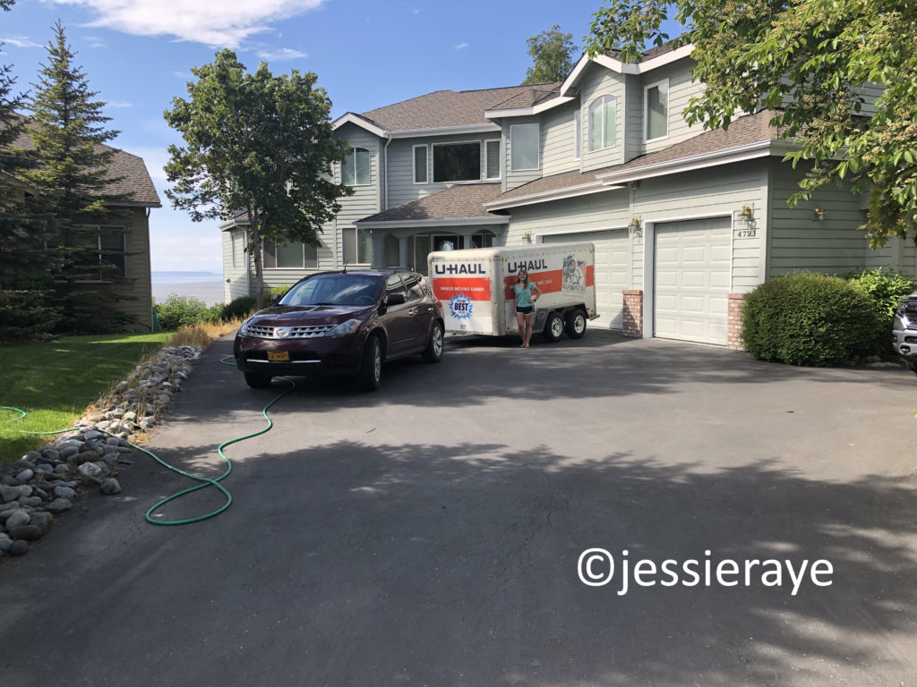
In the afternoon of June 8, 2019, I packed the last box and left everything I knew behind with my 2 dogs, best friend, and belongings in tow.
Anchorage, AK
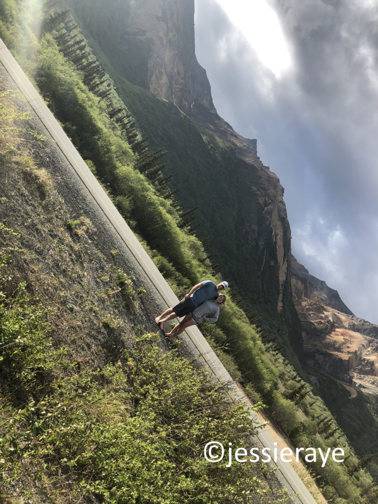
Driving out of Anchorage and through “The Valley” (AKA Palmer/Wasilla) was nothing new to a homegrown Alaskan, but it held a whole new beauty knowing I was leaving it behind for something entirely new and completely different.
Palmer, AK
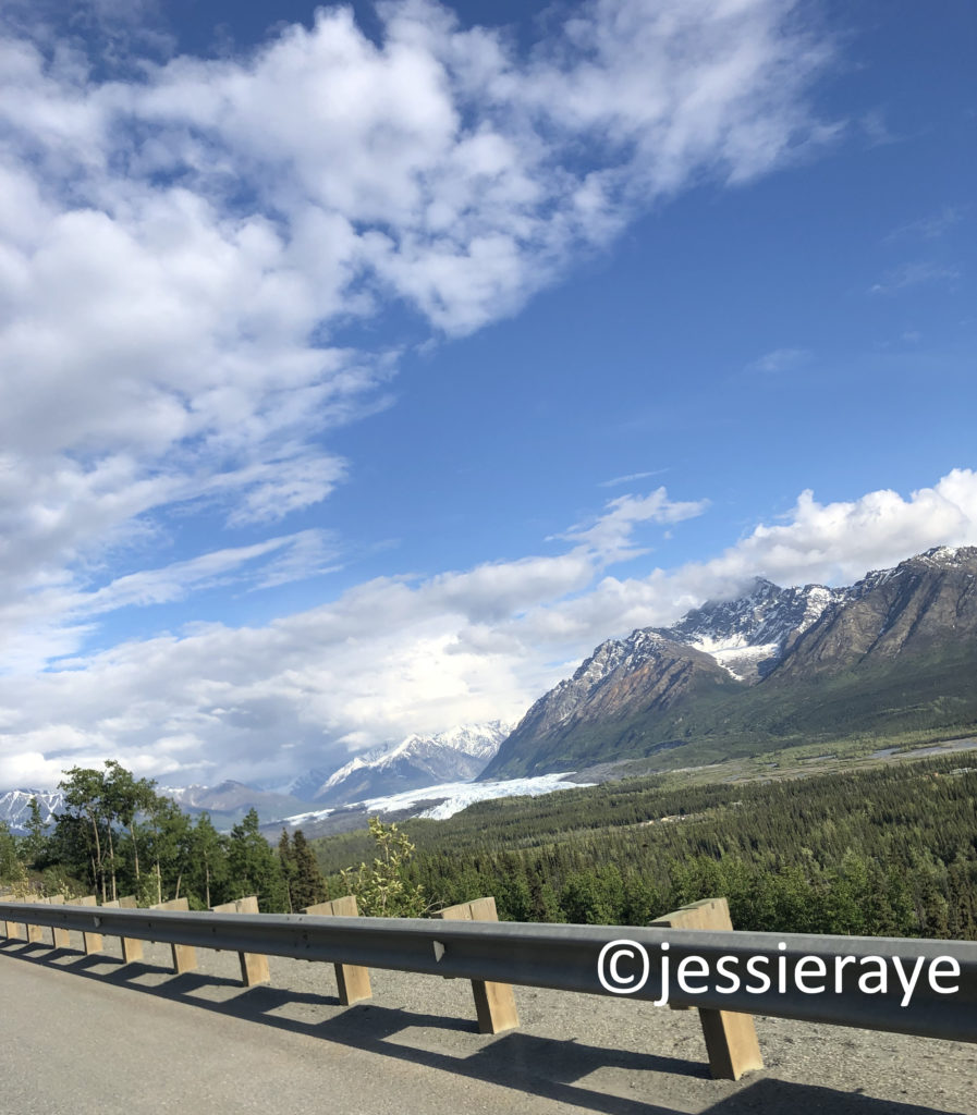
We spotted a moose off the Glen Highway before we had even hit Eagle River, which resides approximately 30 minutes North of Anchorage – a goodbye from an iconic symbol of Alaska.
We continued up the highway, taking our time around the sharp curves of the road and the steep inclines of the terrain. We passed through Eureka and Nelchina before we hit the fork at Glenallen. The Glen Highway (Highway 1) that starts in Anchorage forks with the Richardson Highway (Highway 4), going South to Valdez and North to Delta Junction. We continued along the Glen Highway, making it to Tok around 1 AM.
Sunset-lit rainbow in Chistochina, AK.
With 318 miles under our belt, we settled in for the night, moving things around in the back of the car until 2 humans and 2 dogs could fit relatively comfortably.
Google Maps – Anchorage, AK to Tok, AK
Luckily, it was still Alaska twilight, making this endeavor much easier than it would have been in the dark. We fell asleep in the parking lot of the Chevron gas station, excited for what tomorrow, and Canada, would bring.
I was born and raised in Anchorage, Alaska, but knew I always wanted to move to Texas. This past summer of 2019, I made it happen. ————————————————————————————
We woke up on the morning of June 9th in a Tok, Alaska parking lot, surprised we had not frozen to death overnight. We’d slept in my Nissan Murano with an outside low of 45 degrees Fahrenheit (7 degree Celcius). To anyone that is wondering if that is normal for Alaskan summers, it is.
Tok, AK
We quickly reorganized the car and headed down the Alaska Highway (Highway 2), headed towards Canada. It took us a little under 2 hours to reach the Canadian border and customs. To anyone wondering about what you need for Canadian customs, the answer is simple, but it does take a little bit of planning. You will need a valid passport or passport card to enter the country, firearms are not allowed passage across the border, no fresh fruits or vegetables are allowed, there is a limit on alcohol and tobacco, and pets require a health certificate that was signed within 30 days.
Alaska/Yukon Territory Border
We made the passage into what we referred to as “No Man’s Land” until we reached the true border of Alaska and the Yukon Territory. We also jumped foward from Alaska Standard Time to Pacific Standard time, which lost us 1 hour.
Alaska/Yukon Territory Border
You would think it wouldn’t be a very busy place with there being no major cities either way for hours, but the parking lot was full.
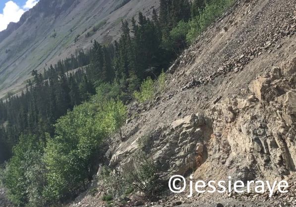
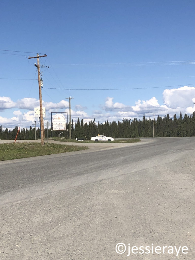
The first town we encountered was Beaver Creek. It is the westernmost community in Canada and, as of a couple years ago, its population was just over 100. There were other small towns along the highway, but no major cities. We stopped for gas and took short driving breaks, but otherwise enjoyed the seemingly endless road taking us through the Yukon Territory.
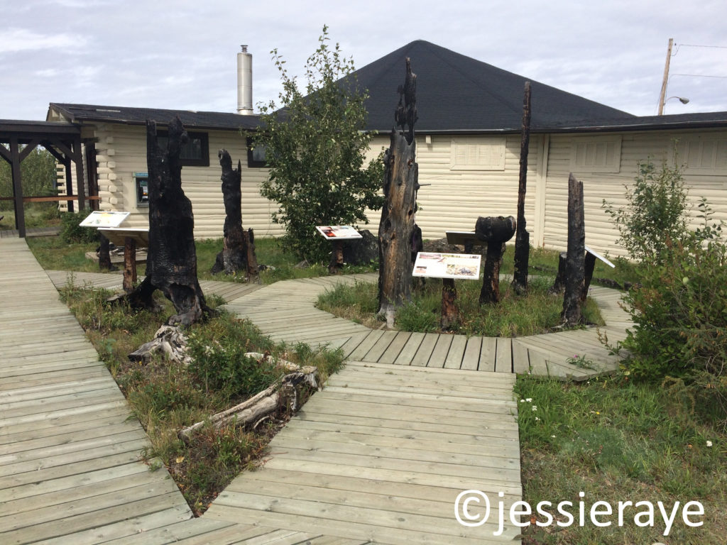
There is a Museum of Natural History located right alongside the Alaska Highway, which houses wildlife exhibits and Alaska Native artifacts, as well as information on the forest fire that affected Burwash Landing in 1999.
Kluane Museum of Natural History, Burwash Landing, Yukon Territory
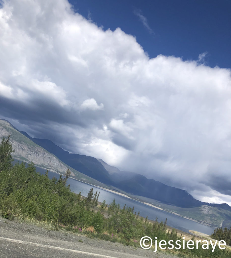
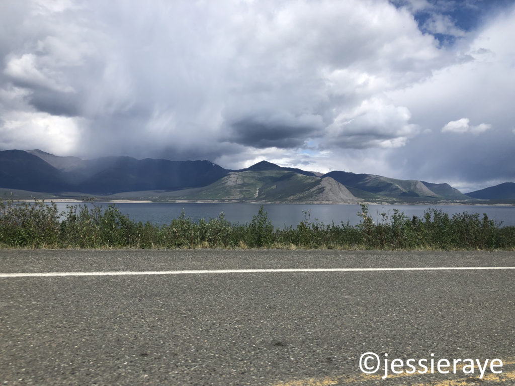
From Burwash Landing, we soon made our way past Destruction Bay, which also resides on Kluane Lake.
Destruction Bay, Yukon TerritoryDestruction Bay, Yukon TerritoryDestruction Bay, Yukon Territory
At Haines Junction, we continued towards Whitehorse along Highway 1. The Haines Highway (Highway 3) will take you South to Kathleen Lake and eventually back into Alaska before reaching the port-town of Haines.
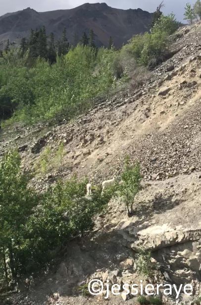
Dall Sheep in Yukon TerritoryDall Sheep in Yukon Territory
A fork in the road right before Whitehorse gave us the option to go North to Dawson City (not to be confused with Dawson Creek, British Columbia), which was a popular location in the 19th century Gold Rush. We continued East towards the capital of the Yukon.
We made it to Whitehorse around 9 PM, planning to continue to push towards Watson Lake, which lies north of the border to British Columbia. A routine check of the car and the U-Haul stopped us from moving past Whitehorse that night. We discovered that one of the tires on the U-Haul was missing a wheel bearing out of the hub assembly. Luckily, Whitehorse has a population of almost 30,000 and a local U-Haul dealer, so we were able to schedule a fix that evening.
We quickly found a hotel room on Priceline.com at Canada’s Best Value Inn, but not before seeing a fox running down the middle of the street while making our way there through downtown Whitehorse.
Day 2 consisted of a total of 386 miles/622 km and 7 hours of driving time.
Google Maps – Tok, AK to Whitehorse, Yukon Territory
We got in bed knowing tomorrow would be a long day, but fell asleep imagining the unknowns of new adventures.
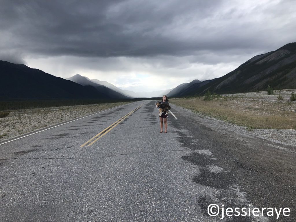
Jethro and Sterling Raye in Whitehorse, Yukon Territory.
I was born and raised in Anchorage, Alaska, but knew I always wanted to move to Texas. This past summer of 2019, I made it happen. ————————————————————————————
Day 3 started in Whitehorse, Yukon Territory. We planned little in the way of stops, knowing we would have a long day of driving ahead of us.
Whitehorse, Yukon Territory
We passed by Marsh Lake after leaving Whitehorse, and within the hour, passed by Jake’s Corner, which intersects the Alaska Highway with Tagish Road (Highway 8) and takes you back westward to Carcross.
Yukon Territory
Johnson’s Crossing was picturesque with its deck truss bridge that runs over the Teslin River before it enters Teslin Lake.
Johnson’s Crossing, Yukon Territory
Teslin was memorable for its bridge as well. The Nisutlin Bay Bridge crosses Teslin Lake, 31 miles (50 km) South of Johnson’s Crossing. The bridge is the longest on the Alaska Highway. It has seven Warren truss arches and a steel-grated deck, making for a noisy passage.
Nisutlin Bay Bridge, Teslin, Yukon Territory
Teslin also houses a cardboard cutout cop car, preventing would-be speeders from zooming through town.
Teslin, Yukon Territory
We stopped for some highway construction, but were moving again within an hour. We reached the border to British Columbia at Morley Lake around 30 minute after leaving Teslin. We were only in British Columbia for about 50 minutes before we crossed back up into the Yukon Territory again.
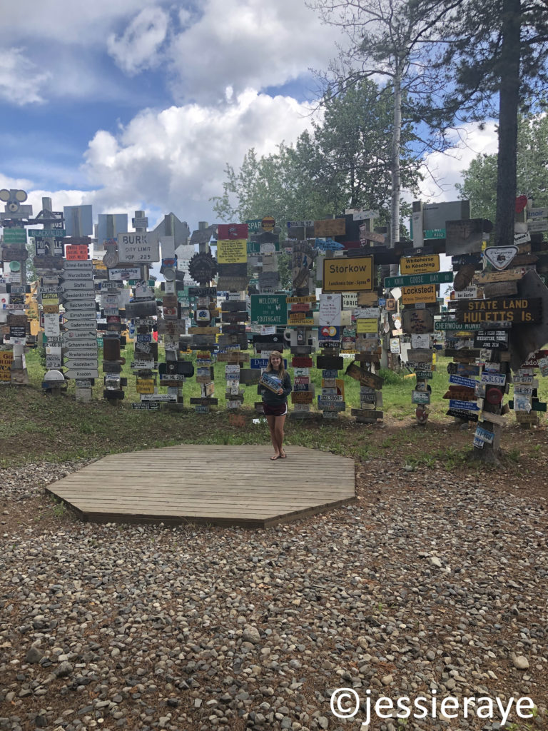
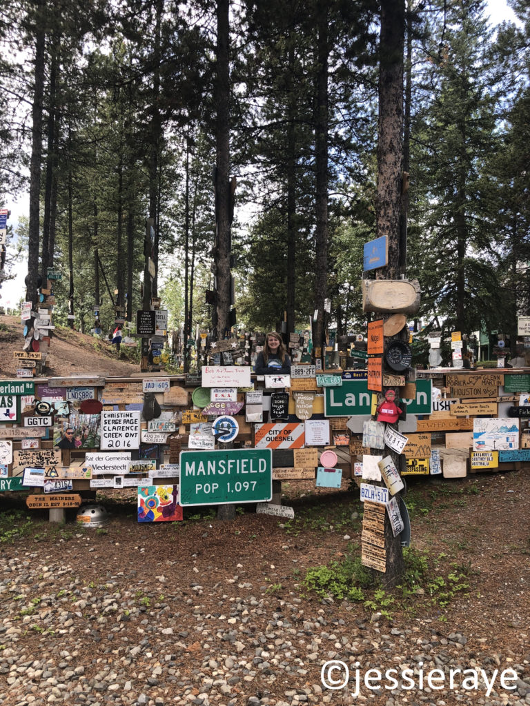
We made it to Watson Lake in a little under 2 hours. We were worried we would miss the Sign Post Forest that we had added to our bucketlist, but it was impossible to miss as we drove through town.
Sign Post Forest, Watson Lake, Yukon Territory
Sign Post Forest is known for its collection of license plates, directional posts, and signage brought from all over the world.
Sign Post Forest, Watson Lake, Yukon Territory
The tradition began in 1942 when a U.S. soldier by the name of Carl K. Lindley was directed to fix the directional signpost outside the Military Air Base. He completed the repairment, but also added a directional signpost for his own hometown of Danville, Illinois. This inspired other soldiers to add their own hometown signposts, eventually growing to become a forest of over 80,000 signs.1 Travelers are welcome to add their own signs to the ever-growing collection.
Sign Post Forest, Watson Lake, Yukon Territory Sign Post Forest, Watson Lake, Yukon Territory
The border back into British Columbia was only about 10 minutes away.
Yukon Territory/British Columbia Border
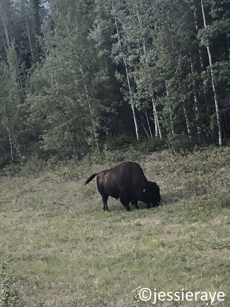
Right after crossing the border, we spotted two large creatures on the left side of the road, causing us to slow down to take a closer look. There were 2 bison lying down in the grass that lined the highway.
Bison in British Columbia.A bison in British Columbia.
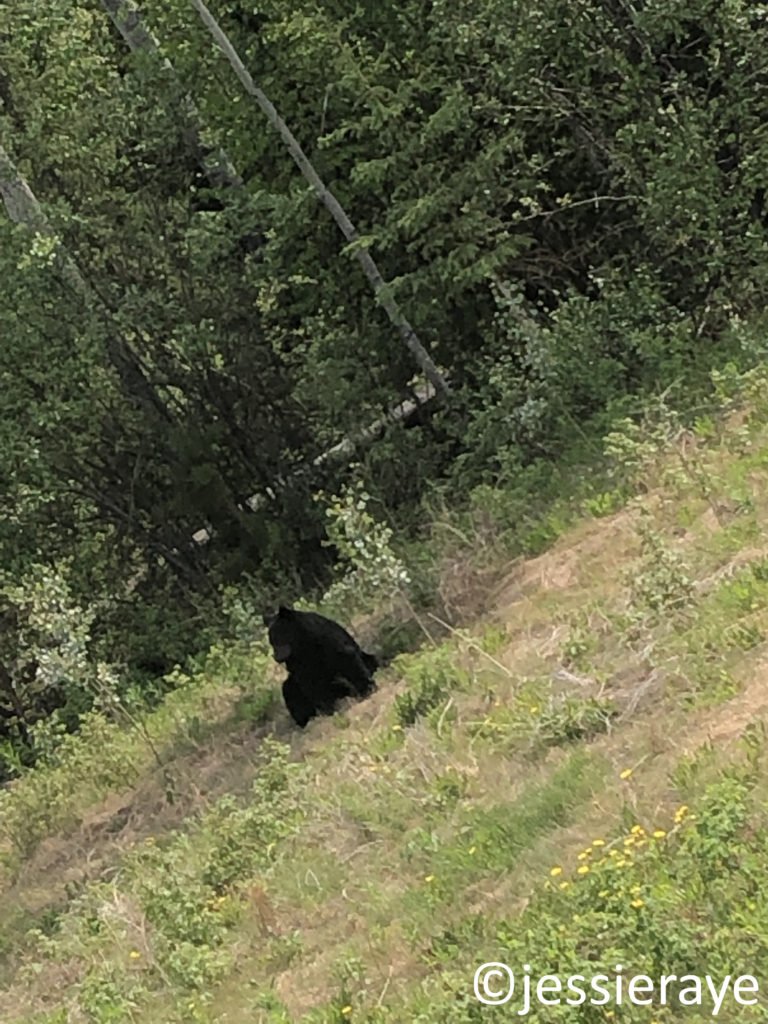
More movement to our right caught our eye. On the right side of the car, a black bear was sitting in the grass as well.
Black bear in British Columbia.
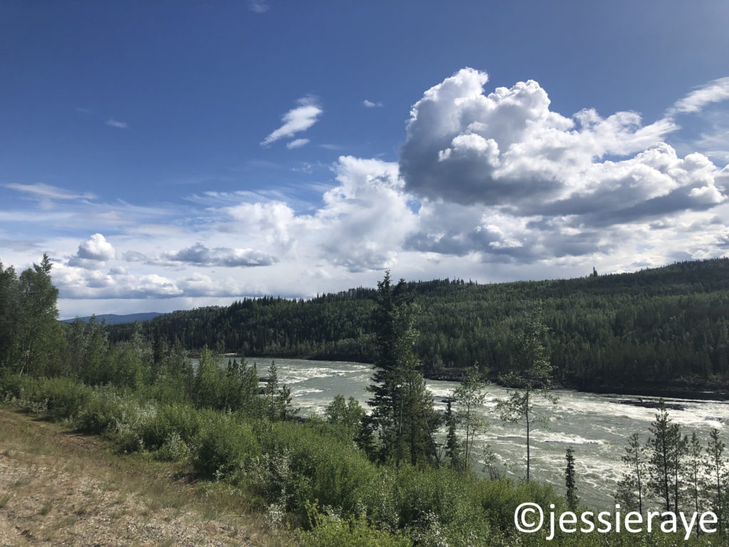
Leaving the bison and black bear behind, we drove alongside the Liard River for 131 miles (210 km), crossing twice more across the Yukon Territory border and then back into British Columbia for the final time.
Liard River, Yukon Territory
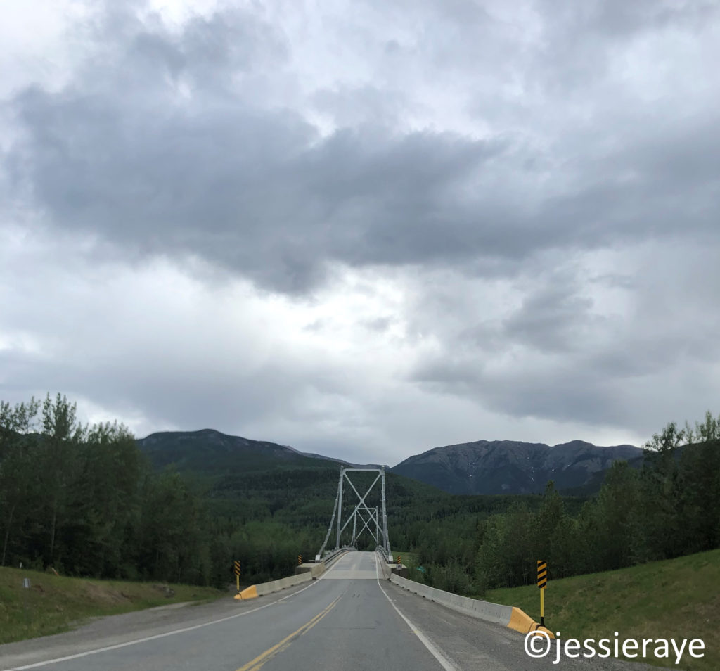
We spotted another black bear alongside the road that afternoon, but the real excitement began up the road 20 minutes later, right after crossing the Liard River Suspension Bridge.
Black Bear in British Columbia.Liard River Suspension Bridge, British Columbia
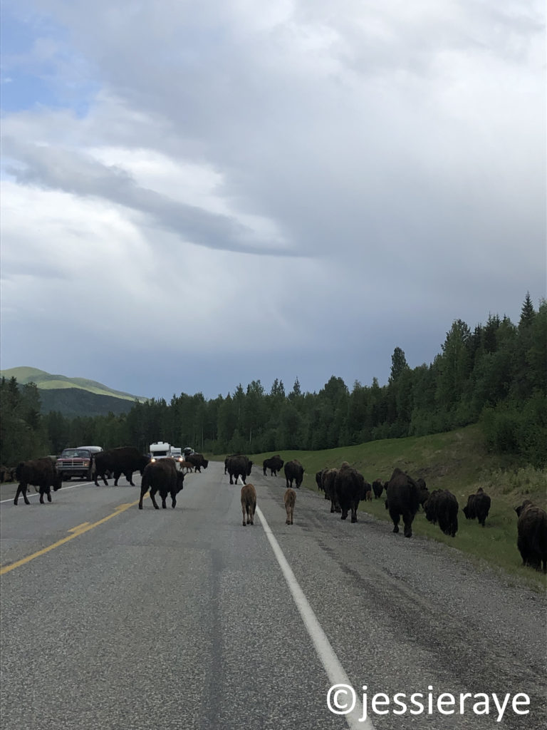
We came upon a large herd wood bison, complete with bison calves. They walked around our car, as well as other vehicles that were also stopped by their crossing. It took another 20 minutes for the herd to clear.
Bison herd in British ColumbiaA bison in British ColumbiaA bison in British Columbia
Once the bison cleared the road, we continud on through the Northern Rockies and into Boulder Canyon where there was an easy pull-off for the U-Haul.
Boulder Canyon, British Columbia
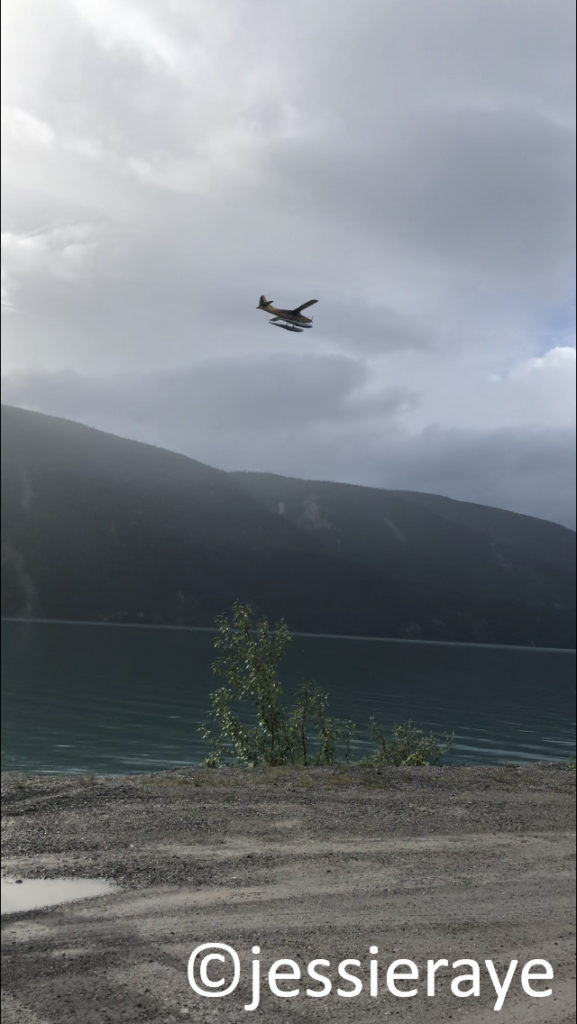
There was a mother and baby porcupine right before we reached Muncho Lake. Minutes later, we watched a float plane land on the smooth waters that butted right up against the winding highway.
Float plane over Muncho Lake, British Columbia
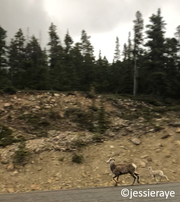
The highway continued into Stone Mountain Provincial Park, which overlooks McDonald Creek and the sheer cliffs that border the highway. Steep cliffs rose to our left as well. We were moving slowly around the sharp turns of the road and were able to stop quickly when a large band of Bighorn Sheep came into view in front of us. They were hesitant to move off the road, but an oncoming semi-truck convinced them otherwise.
Bighorn Sheep in Stone Mountain Provincial Park, British Columbia
We turned into a pull-off and watched as the adult sheep jumped over the highway railing, while the baby sheep slid underneath it, taking off down the steep incline towards the river below.
Bighorn Sheep and baby in Stone Mountain Provincial Park, British Columbia
Our next big stop was Fort Nelson, British Columbia, moving us into Mountain Standard Time, and losing us another hour. We filled up with gas and continued towards Dawson Creek, which was still 282 miles (453 km) away.
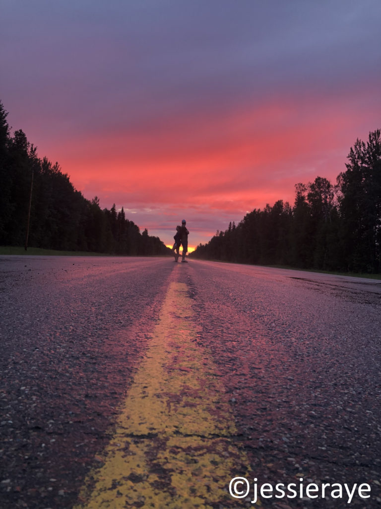
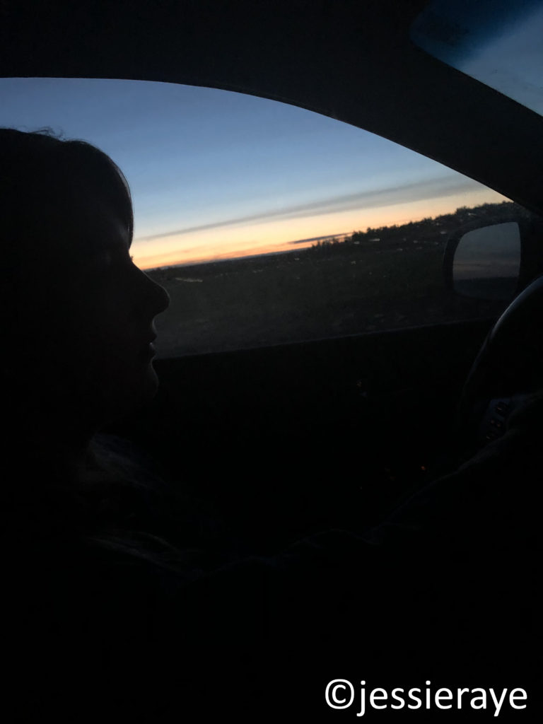
We watched the sun melt behind us into brilliant shades of red, pink, and orange during the 10:30 PM sunset.
Sunset in British Columbia
Three and a half hours later, the gas light came on with at least 30 miles (53 km) to the closest town of Fort St. John. There were no open gas stations along the highway since our last fill up. Luckily, we had planned for such an event, and used our spare gas can to top the tank off.
Middle of Nowhere, British Columbia
I drove us the final stretch into Dawson Creek as we watched the sun come up over the Peace River.
Sunrise near Dawson Creek, British Columbia
We had once again booked a hotel using Priceline, this time at Days Inn by Wyndham Dawson Creek.We crawled into our beds around 4 AM and were asleep before our heads even hit the pillow.
Seconds before sleep in Dawson Creek, British Columbia
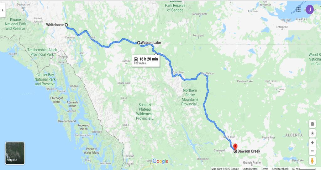
Our total time for Day 3 was 19 hours and we traveled 872 miles (1404 km), 625 (1005.8 km) of those miles being British Columbia.
Google Maps – Whitehorse, Yukon Territory to Dawson Creek, British Columbia.